
- West Coast Sailing
- General Sailing
- Racing
- Cruising
- Current News
- Heading South
- Circumnavigators
- Safety
Need a Free Charting Resource? Try Chart Locker
While sailing tens of thousands of miles across the world’s oceans over more than a decade, Bruce Balan and Alene Rice have put their energy and resources to work on various causes and environmental endeavors, including the Pacific Manta Research Group and the Berkeley-based The Story of Stuff video. Now Bruce and Alene are on a new course with a free charting resource for cruising sailors.
For anyone cruising away from home, deciding which charts to use is crucial to safe navigation. Most boats now have chartplotters or tablets with charts provided by a single company. However, relying on only one source of charting information — and not using it properly — can lead to disaster. Just look at the loss of Vestas Wind in the 2014 Volvo Ocean Race.
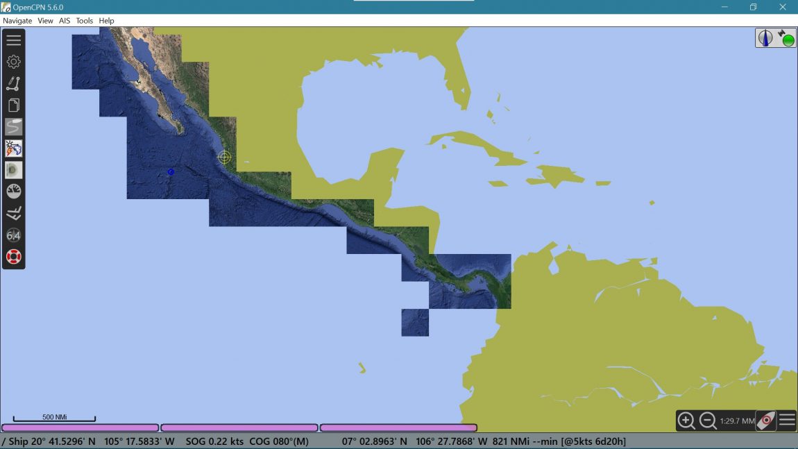
The good news is the prudent skipper can easily add an excellent charting tool for free. OpenCPN is an open-source charting program designed and built by boaters. It makes it easy to compare different charts, as it can display a variety of charting formats. You can also download all of the NOAA charts for the USA — as well as charts from several other countries — for free from within the program.
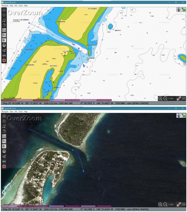
One source of charts for those sailing to Mexico or across the Pacific is The Chart Locker, a charting resource created by Bruce and Alene of the Cross 46 trimaran Migration. The Chart Locker offers free downloads of charts created from a variety of satellite image sources (Bing, Google and ArcGIS). All of these charts work in OpenCPN. The resolution of many of the charts is so good that you can see the individual coral heads in the atolls of the Tuamotus.
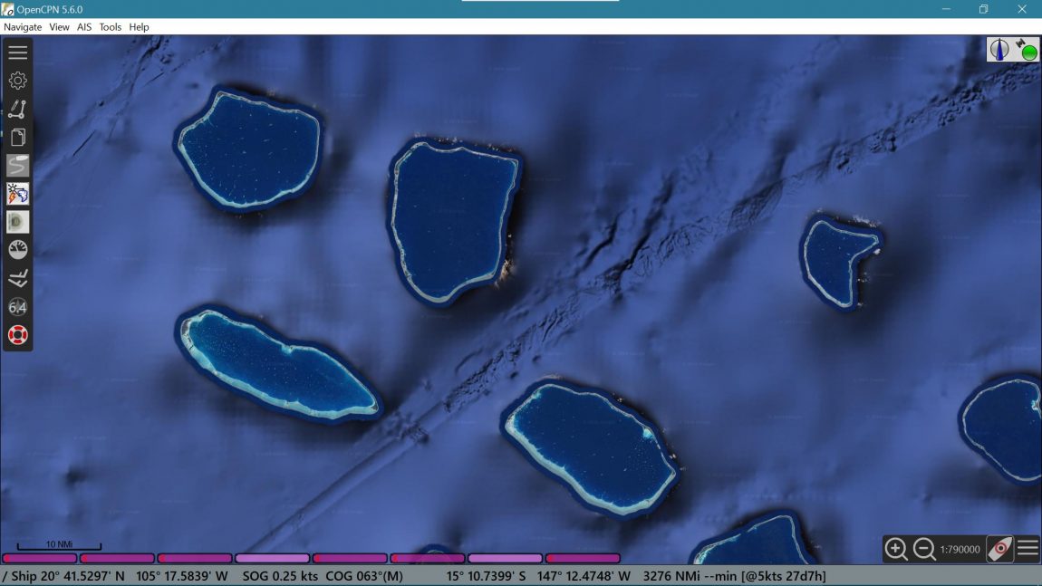
Currently, the Chart Locker covers the entire Pacific coast of Mexico and Central America, as well as all of French Polynesia, the Cook Islands, Tonga, Fiji, Vanuatu and many other Pacific islands. Check it out here.
Electronic charting is a great tool, but only if used correctly. Navigating a boat safely involves many factors — it’s much more complex than looking at a screen and steering a miniature representation of your boat around hazards. As the Chart Locker says, “It’s up to you to keep you, your crew and your boat safe. Always use multiple sources when navigating — including your eyes looking at the real world, not just a chartplotter.” ‘Nuff said.